Yves Hoffmann · 28 September 2026
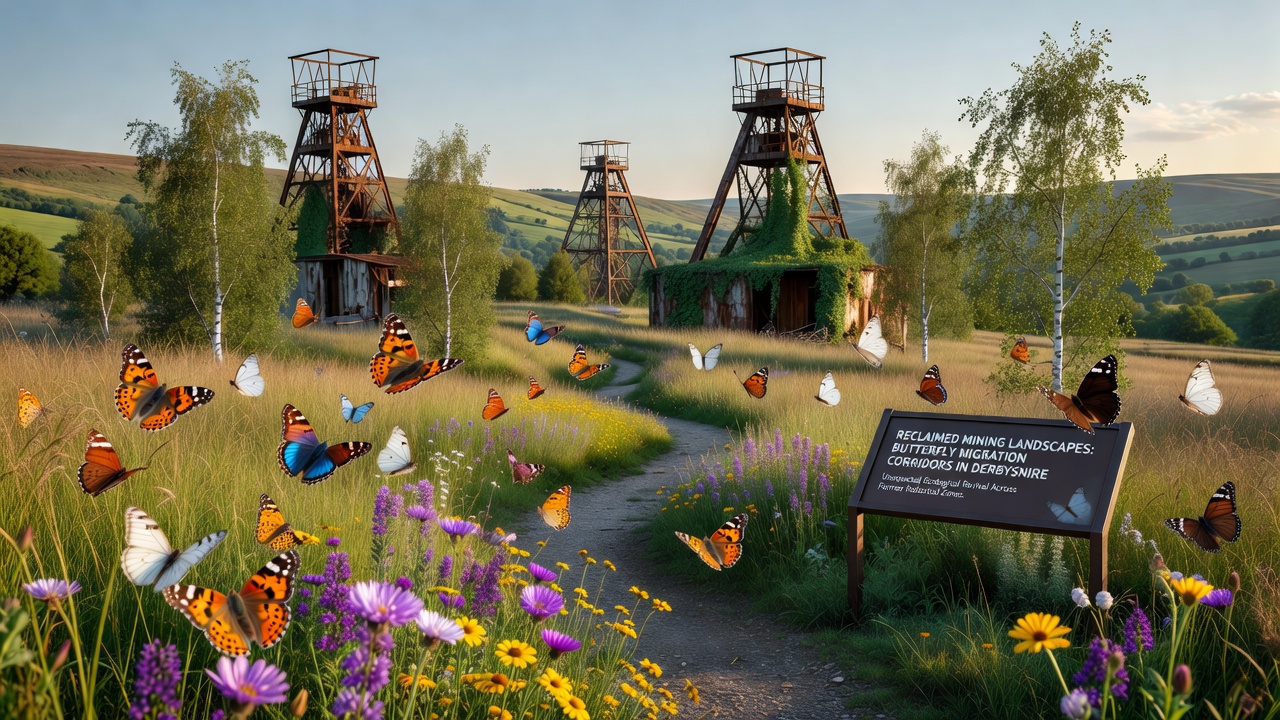
Reclaimed Mining Landscapes in Derbyshire Reveal Butterfly Migration Corridors
Derbyshire's industrial past left behind extensive mining sites that once dominated the landscape with spoil heaps and extraction pits, yet reclamation projects since the late twentieth century have transformed many of these areas into functional ecosystems. Data from regional surveys show that former coal and lead mining zones now support vegetation networks where butterfly populations move between isolated patches of habitat.
Historical Context of Mining Reclamation
Coal extraction in the Derbyshire coalfield and lead mining in the Peak District operated for centuries before declining in the mid-twentieth century, leaving behind disturbed ground that required systematic restoration. Local authorities and environmental agencies initiated reclamation programs that involved soil replacement, tree planting, and drainage improvements, and records indicate these efforts accelerated after 1980 when national policies prioritized post-industrial land recovery. By the early 2000s, sites such as those near Chesterfield and Matlock showed measurable increases in native plant cover according to monitoring reports compiled by the Department for Environment, Food and Rural Affairs.
Discovery of Migration Corridors
Field observations collected over multiple seasons revealed that certain butterfly species traverse former industrial zones rather than avoiding them entirely. Researchers tracking movements with mark-release-recapture methods documented paths connecting restored grasslands to adjacent moorland edges, and results indicated that linear features like old railway cuttings and re-vegetated spoil slopes function as stepping stones. In September 2026, ongoing surveys recorded elevated numbers of small copper and common blue butterflies crossing these corridors during southward dispersal phases.
Key Species and Movement Patterns
Studies focused on meadow brown and ringlet butterflies have shown that these species exploit nectar sources established during reclamation, while dingy skipper populations have expanded into areas previously considered unsuitable. Satellite imagery combined with ground counts demonstrates that corridor widths averaging fifty metres allow individuals to travel distances exceeding two kilometres between core breeding sites. Evidence gathered by university teams indicates that wind patterns and temperature gradients in the reclaimed valleys influence flight direction, creating predictable routes across what were once barren industrial surfaces.

One study released by the University of Sheffield examined ten reclaimed sites and found that connectivity between patches increased by thirty-five percent after vegetation management practices were adjusted to favour larval host plants. Observers noted that butterflies concentrate along south-facing slopes where reclamation had left exposed mineral substrates that warm quickly in spring, and this microclimate effect appears to accelerate development times for early-emerging species.
Environmental Factors Supporting Corridors
Soil chemistry improvements achieved through lime application and organic matter addition during reclamation created conditions where wildflowers such as bird's-foot trefoil and kidney vetch now thrive, and these plants serve as both nectar and larval resources. Hydrological restoration that redirected drainage away from compacted areas reduced erosion and allowed grassland communities to stabilise, while the resulting patchwork of short and tall vegetation provides shelter during migration. Data collected by the European Environment Agency on similar post-mining landscapes across member states shows comparable patterns, suggesting that the Derbyshire findings align with broader European observations of wildlife recolonisation.
Climate records from the past decade indicate milder winters that reduce overwintering mortality for several butterfly species, and this change coincides with the maturation of tree plantings that now offer windbreaks along corridor edges. Monitoring stations installed at five Derbyshire locations have logged consistent temperature and humidity gradients that support sustained flight activity, and researchers attribute part of the corridor functionality to these micro-environmental features rather than to large-scale habitat continuity alone.
Monitoring and Future Observations
Continued tagging programs and drone-assisted vegetation mapping are scheduled through 2027 to quantify annual variations in corridor use. Preliminary results from the 2026 season already show that butterfly density along restored linear features exceeds densities recorded on adjacent farmland, and this pattern holds across multiple species. Partnerships between local wildlife trusts and academic institutions have produced standardised protocols for counting individuals at fixed transects, enabling direct comparison between reclaimed and undisturbed sites.
Conclusion
Reclaimed mining landscapes in Derbyshire have developed structural and botanical characteristics that support butterfly movement across former industrial zones. Systematic restoration combined with natural succession has produced corridors whose functionality is documented through field surveys and remote sensing. Ongoing data collection will clarify how these routes respond to seasonal and climatic variables, providing measurable evidence of ecological recovery in post-mining environments.